Birmingham Airport (BHX)
City Orientation and Maps
(Birmingham, England)
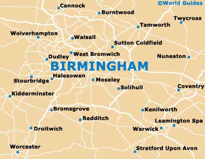
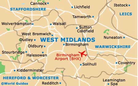
The city of Birmingham is located in the West Midlands, in the centre of England. Birmingham is close to a number of prominent cities and towns, such as Solihull and Coventry to the south-east, both of which are near to Birmingham International Airport (BHX). Redditch lies to the south of the city, while Dudley and Wolverhampton can be found to the west, and Cannock to the north.
Further afield and yet still within easy driving distance of Birmingham are Stoke-on-Trent and Manchester to the north, and Swindon to the south. Also worth a mention is the city London, which is located around 185 km / 115 miles to the far south-east, with the journey by car lasting around two hours.
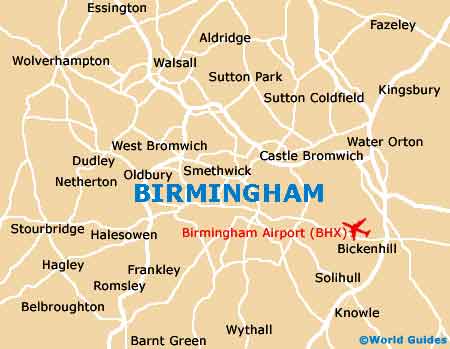
Birmingham International Airport (BHX) Maps: Important City Districts
The heart of Birmingham is based around its spreading pedestrianised precinct, which is located in front of the Council House. To the west of this area you will find Birmingham International Convention Centre (BICC), Centenary Square, Symphony Hall and also the Gas Street Basin area.
The majority of the city's shops stand along New Street, to the south-east of the imposing Council House, with a number of centrally located shopping centres, such as Birmingham's City Plaza, the Pallasades and the eye-catching Bull Ring complex.
England Map

West Midlands Map
Birmingham Map